AARP Hearing Center
As the elevation changes from 5,000 to 13,000 feet at Nevada’s Great Basin National Park (GNBNP), so does the landscape, revealing subalpine lakes and streams, varied wildlife, lush forests and a fascinating system of caves. Near the park’s pinnacles, in the nation’s only cold desert, you’ll find ancient bristlecone pines — some more than 4,000 years old.
These unique mountain environments (a “series of oases,” as the park’s Chief of Interpretation Nichole Andler puts it) are known as “sky islands,” with glacier-topped Wheeler Peak towering above the rest.
Exploring them is like traveling through several of the world’s ecosystems, all within Nevada.
While part of the area was set aside as Lehman Caves National Monument 100 years ago, it was only expanded and made an official national park in 1986. It’s still unassuming, despite that elite status, located on only 77,180 acres in an isolated section of White Pine County in eastern Nevada — less than 10 miles from U.S. Highway 50, known as the “Loneliest Road in America.”
Given its location, it’s one of the country’s least-visited national parks, with only 120,248 visitors in 2020, and is rarely crowded. Here are some tips for getting the most from this quiet, beautiful place.
Getting there
The nearest airport to GBNP is 142 miles southeast in Cedar City, Utah — and getting from there to the park’s closest gateway city of Baker (population 60) requires driving along at least a small portion of the remote U.S. 50. There are more flights in and out of Las Vegas, but then you must drive 300 miles north to Baker, on U.S. Highway 93, another desolate drive. From Baker, it’s a short 5 miles to the park on Nevada State Route 488. Note that Baker is the last place to pick up food and limited supplies or get gas before entering the park. Also before heading to GBNP from Baker, stop in the Great Basin Visitor Center for park information, educational exhibits, a gift shop, a bookstore and restrooms. If you bypass that center, a second one with similar offerings is inside the park at Lehman Caves.(See below for more information on where to stop en route to the park.)
There is no Wi-Fi in the park, making cell reception spotty throughout.

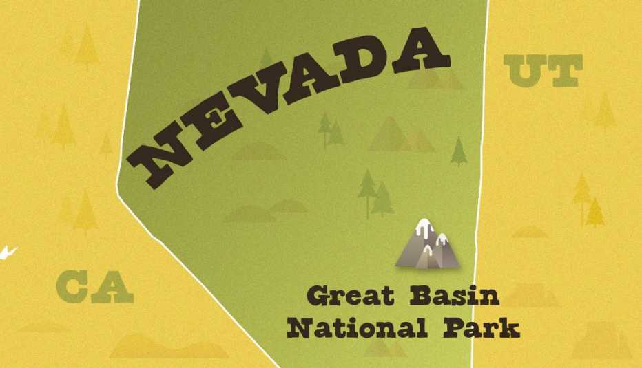
Location: Eastern Nevada, near the Utah border
Acreage: 77,180
Highest point: Wheeler Peak summit, 13,060 feet above sea level
Lowest point: Mountain View Nature Trail, 6,825 feet above sea level
Main attraction: Bristlecone pines, Wheeler Peak Glacier and Lehman Caves
Entry fee: None
Best way to see it: By car or by foot
Peak season: May to October
When to go
The park is open year-round, but the weather conditions vary dramatically by seasonal, with an average winter low of 18 degrees in January and an average high of 86 in July. Unpredictable afternoon thunderstorms sometimes catch summer visitors off guard, while snow blankets the park as early as October and through May in some years. June through September provide the most diverse options for visitors as melting snow gives way to bubbling creeks and hundreds of species of colorful blooms at the varied elevations, some endemic to the park. On hot days in the valley there still may be snow at the higher elevations; skin protection is crucial at all elevations, so don’t forget sunscreen.
Where to stay
Campgrounds. You won’t find any hotels in GBNP, but there are five developed campgrounds, three with accessible sites, and all with vault toilets, picnic tables, tent pads and campfire grills. Reservations are necessary during peak season ($20 to $30 per night, recreation.gov).


