Javascript is not enabled.

Javascript must be enabled to use this site. Please enable Javascript in your browser and try again.

Skip to content
Content starts here
CLOSE ×

Search

Leaving AARP.org Website

You are now leaving AARP.org and going to a website that is not operated by AARP. A different privacy policy and terms of service will apply.

Two Stunningly Beautiful Byways in Montana and Wyoming

An unforgettable summer road trip through the rugged landscape of Cowboy Country

spinner image a road map with a driving route marked on it from cody wyoming to points in montana superimposed over a photo taken from the scenic beartooth highway
Getty Images/AARP

This remarkable three-day drive starts and ends in Cody, Wyoming, and includes the Chief Joseph Scenic Byway (Wyoming Highway 296); an overnight in Cooke City, Montana, at the edge of Yellowstone National Park; then a cruise along the Beartooth Scenic Highway — one of the few drives in the U.S. that could impress more than the previous day's stunner. Both are National Scenic Byways and All-American Roads.

Day 1: Cody, Wyoming, to Cooke City, Montana (76 miles)

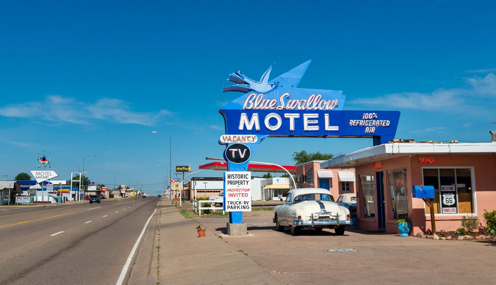
Before leaving this rodeo-happy town founded by Col. William F. “Buffalo Bill” Cody in 1896, fill up your gas tank and grab breakfast at the Station, a former gas station transformed into a cafe, with sweet and savory breakfast crepes. Now you're ready to hit the road — specifically, the 46-mile Chief Joseph Scenic Byway, which you can catch 16 miles north of Cody.

spinner image Image Alt Attribute

AARP Membership— $12 for your first year when you sign up for Automatic Renewal

Get instant access to members-only products and hundreds of discounts, a free second membership, and a subscription to AARP the Magazine.

Join Now

It passes through ranchland, tops out at 8,061-foot Dead Indian Pass, and then drops into one of the Cowboy State's most remote valleys.

A little history will help you appreciate the miles ahead of you. The road gets its name from the Nez Perce chief who used this route in 1877 to lead about 700 of his people to Canada to escape being confined on a reservation by the U.S. government. In what historians have described as a “brilliant” military maneuver, Chief Joseph outwitted the U.S. Army at Dead Indian Pass. (The group had to surrender to the Army a month later when it was cornered about 40 miles from the Canadian border.)

A peak and a creek here also bear the name “Dead Indian,” and you hear two different accounts of where this name came from. According to one, in 1877, the U.S. Army killed a Nez Perce near here. The other says that in 1878, Crow Indian scouts working with the U.S. Army killed and buried a Bannock Indian near here.

Before you top out at Dead Indian Pass, pullouts offer bird's-eye views to the east of working ranches, rare evidence of any human presence in this area. At the pass itself, looking west into Sunlight Basin, you'll marvel at rugged, 1,200-foot-deep Clarks Fork Canyon, which winds through the basin, and the snaggly, glaciated Beartooth Mountains in the distance.

From Dead Indian Pass, as you descend 3,000 feet to enter the eastern side of Sunlight Basin, you'll cross the area's defining man-made feature, a bridge 280 feet above Sunlight Creek. About 21 miles down the road, you can take a moderate 5-mile out-and-back flat hike along the edge of Clarks Fork Canyon. Just turn right onto Forest Service Road 407, about a mile past Painter's Outpost; in less than half a mile, you'll see the trailhead. Backpackers take this trail deep into the Shoshone National Forest, but you can turn around at the wooden bridge that crosses Beartooth Creek (or do an even shorter portion of the hike, if you wish).

At Sunlight Basin's far (western) side, the byway ends at the Beartooth Highway (U.S. Highway 212). There, head northeast for 13 miles to Cooke City, Montana, at the edge of Yellowstone National Park and home to only a couple of hundred people, even during the busiest summer months of July and August. There's also a general store and the Beartooth Cafe, where you can sit on a flower-filled patio facing the town's main street for a dinner of bison meatloaf.

See more Health & Wellness offers >

Where to stay: Handmade quilts, some featuring local animals and scenery, cover most beds at the basic but homey Cooke City Alpine Motel.

spinner image Pick-up truck on the Beartooth Scenic Byway (Rt. 212)
Beartooth Scenic Highway
H. Mark Weidman Photography/Alamy Stock Photo

Day 2: Cooke City to Red Lodge, Montana (64 miles)

Before leaving Cooke City, treat yourself to the pastries (or the delicious biscuits and gravy) at Bearpaw Bakery, where owner/baker Terri Smith uses recipes passed down from her grandmother and mom. But don't dawdle too much; today's mileage is misleading. With the Beartooth Scenic Highway's many switchbacks and amazing scenery, it will take you most of the day to cover the 64 miles of this road, which the late journalist Charles Kuralt called “the most beautiful drive in America.”

The Beartooth, open only between Memorial Day and Columbus Day, climbs to an altitude of almost 11,000 feet, where glacially deposited boulders dot the landscape; clear lakes stay frozen into July; little grows but lichens, mosses and pinky-nail-sized wildflowers; and rock formations up to 4 billion years old dot the horizon. As you drive, you'll pass more lakes than you can count, including Beartooth Lake (elevation about 8,900 feet), some 23 miles up the pass from Cooke City. Here, you can stretch your legs on part of the 11-mile loop trail that connects Beartooth, Grayling and Beauty lakes; the trailhead is just off the highway. Covering the entire loop takes five to seven hours, so consider hiking a mile or so along Beartooth Lake itself (where the loop starts), then turning around. You'll be hard-pressed to resist taking photos of this turquoise alpine lake with snow-covered peaks rising in the background.

If you hit the pass's 10,947-foot summit — the Northern Rockies’ highest road — and do not yet appreciate the audacity of building a road in such a rugged and remote landscape, a stop at the Rock Creek Vista Point (at 9,190 feet in elevation on the Red Lodge side of the pass) should get you there. From the viewpoint, you can look 2,500 feet down, following the highway as it switchbacks, clinging to the side of the mountain, to the floor of Rock Creek Canyon.

Surprisingly, in the low-key former mining town of Red Lodge (population about 3,000), you'll need a reservation to dine at the must-try Piccola Cucina at Ox Pasture. It's a summer-only pop-up hot spot — open through Sept. 27 this year — where Sicilian chef Philip Guardione serves the dishes he grew up eating (he also has four restaurants in New York City). A menu favorite: cavatelli pasta in beef ragú. You can also order takeout and eat at nearby flower-filled Pride Park, where you'll find picnic tables.

Where to stay: You won't be basking in luxury at the Yodeler Motel, but many of its 23 rooms feature steam showers that do a tired body good after a long day of driving or hiking.

spinner image Buffalo Bill Center of the West
The Buffalo Bill Center of the West
Andrew Woodley/Alamy Stock Photo

Day 3: Red Lodge back to Cody (63 miles)

Today's one-hour drive south (via Montana Highways 308 and 72 and Wyoming Highway 120) is an easy one through ranches and farms in the fertile floodplain of the Clarks Fork of the Yellowstone River. This brevity is good because before you leave, you'll want the morning to wander through Red Lodge's quaint downtown of locally owned art galleries, shops and cafes. Be sure to stop at Cattail Bakery, which makes pastries fresh every morning you can smell for blocks.

Plan to arrive in Cody by early afternoon to explore museums that are far better than you might expect in a small Wyoming city of 10,000 people. The Buffalo Bill Center of the West — a complex of five museums and a research library — has been called the Smithsonian of the West. Its Whitney Western Art Museum displays works by artists such as Albert Bierstadt, Rosa Bonheur, Thomas Moran and Frederic Remington. At its newly remodeled Cody Firearms Museum, see antique and rare firearms. You should also visit the Cody Dug Up Gun Museum, a less-polished downtown attraction not affiliated with the Buffalo Bill facility. It's quirky but fascinating, with a collection that includes Civil War revolvers, a Revolutionary War sword, and pistols used by outlaws in gunfights and robberies.

You can end your road trip here or extend it to explore Yellowstone National Park, just 52 miles west. 

Where to stay: Sleep in the same downtown boardinghouse where Ernest Hemingway finished writing Death in the Afternoon in 1932, now the 21-room Chamberlin Inn, a remodeled boutique hotel.

AARP Travel Center

Or Call: 1-800-675-4318

Enter a valid departing date

Enter a valid returning date

Age of children:

Child under 2 must either sit in laps or in seats:

Enter a valid departing date

Age of children:

Child under 2 must either sit in laps or in seats:

Enter a valid departing date

Age of children:

Child under 2 must either sit in laps or in seats:

Flight 2

Enter a valid departing date

Flight 3

Enter a valid departing date

Flight 4

Enter a valid departing date

Flight 5

Enter a valid departing date

+ Add Another Flight

Enter a valid checking in date

Enter a valid checking out date


Occupants of Room 1:


Occupants of Room 2:


Occupants of Room 3:


Occupants of Room 4:


Occupants of Room 5:


Occupants of Room 6:


Occupants of Room 7:


Occupants of Room 8:


Enter a valid departing date

Enter a valid returning date

Age of children:

Occupants of Room 1:

Age of children:


Occupants of Room 2:

Age of children:


Occupants of Room 3:

Age of children:


Occupants of Room 4:

Age of children:


Occupants of Room 5:

Age of children:

Age of children:

Child under 2 must either sit in laps or in seats:

Enter a valid start date

Enter a valid drop off date

Select a valid to location

Select a month

Enter a valid from date

Enter a valid to date