AARP Hearing Center
Solutions from The Imagining Livability Design Collection
Mid-range improvements, which tend to take anywhere from a year to several years to complete, can cost from $10,000 to a half-million dollars to implement. Such mid-range efforts may need to be prioritized as to the order in which they are pursued. The projects can be proposed and discussed as part of new plans or as additions to existing undertakings.
1. Modern and Mini Roundabouts

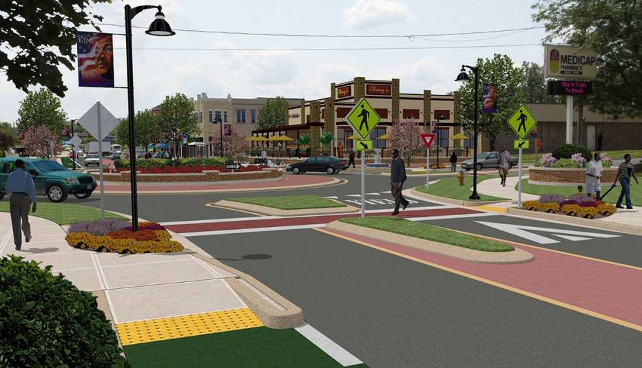
A modern roundabout or mini-roundabout is a circular intersection that moves traffic counterclockwise around a central island. In doing so, vehicle speeds slow down to safer speeds, reducing injuries and deaths by up to 90 percent. Roundabouts also reduce noise and air pollution and can handle 30 to 50 percent more traffic than conventional intersections.
A splitter island at the center of the roundabout helps people cross the street more safely by allowing them to cross only one direction of traffic at a time. In addition, landscaping and bicycle lanes help to inspire a revitalization of the neighborhood. (Related: Livability Fact Sheet: Modern Roundabouts)
2. Road Diets

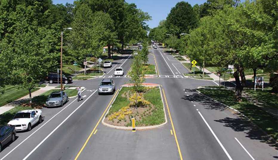
This traffic-calming technique reduces the number of travel lanes or the effective width of a roadway to improve safety and provide space for amenities or other modes of travel.
The most common road diet is a four-to-three conversion, where two lanes in each direction are converted to one lane in each direction plus a center turning lane or median. This technique rarely increases congestion, but it does reduce dangerously high vehicle speeds and the chance and severity of collisions. (Related: Livability Fact Sheet: Road Diets)
3. Shared-Use Paths

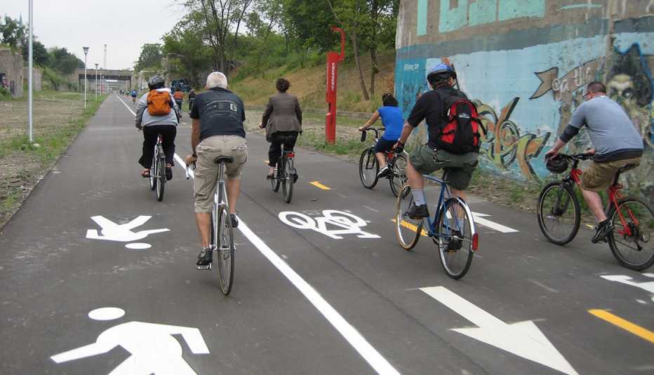
A shared-use path (also called a multiuse path or trail) is a paved or natural surface for walking and bicycling that is fully separated from motor vehicles.
A shared-use path can be as narrow as 6 feet wide, but the ideal path is 12 feet wide for people walking in both directions, plus a striped or separated path 12 feet wide for biking in both directions. Painted stripes and other wayfinding signage indicate each type of travel and travel direction.
4. Sheltered Bus Stops

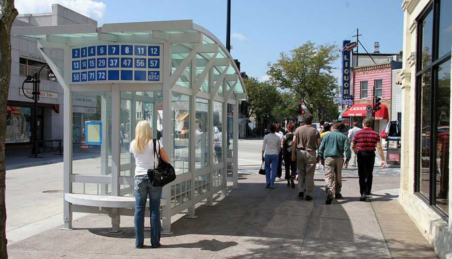
In many communities, a bus stop is simply a sign on a utility pole. The signage is sometimes so small it can be difficult for riders to even determine the location of the stop, and people waiting for the bus are forced to endure wind, rain, sun and snow. At night, they stand and wait in complete darkness.
A sheltered bus stop is a covered off-street structure, with at least three glass sides and a roof. The shelter provides seating and lighting, includes a transit map and schedules, and is set back from the roadway enough to allow for a person to enter and exit the bus stop area from a sidewalk rather than from stepping into the street.
Editor's Note: The Imagining Livability Design Collection was published in Spring 2015 by AARP Livable Communities and the WALC (Walkable and Livable Communities) Institute. The institute has since closed shop, but the 40-page publication it helped develop remains a valuable resource for communities and local leaders.


