
AARP Hearing Center


Coral-hued cliffs. Sheer-walled canyons. Wind-sculpted spires. You’ll have these majestic rock formations plus wide-open spaces nearly to yourself on this three-day road trip through the striking red rock canyon country of northern Arizona and southern Utah.
The route delivers two national monuments, with the centerpiece — and the literal center of this 228-mile loop — being Vermilion Cliffs National Monument and its star attraction, the crimson-and-tangerine-walled escarpment of the Paria Plateau. You’ll trace the monument’s southern side while traveling westward, including making a stop at the historical Navajo Bridge.
On the return trip east to complete the loop, postcard-worthy views dazzle on both sides — the Vermilion Cliffs to the south and Grand-Staircase-Escalante National Monument to the north. This region of copper-colored canyons, sheared-off cliffs and water-chiseled rock formations wows with the same stark technicolor splendor of the five national parks that surround it, but with a dose of solitude not found in the more crowded parks.


Alamy
Day 1: Page to Marble Canyon (40 miles)
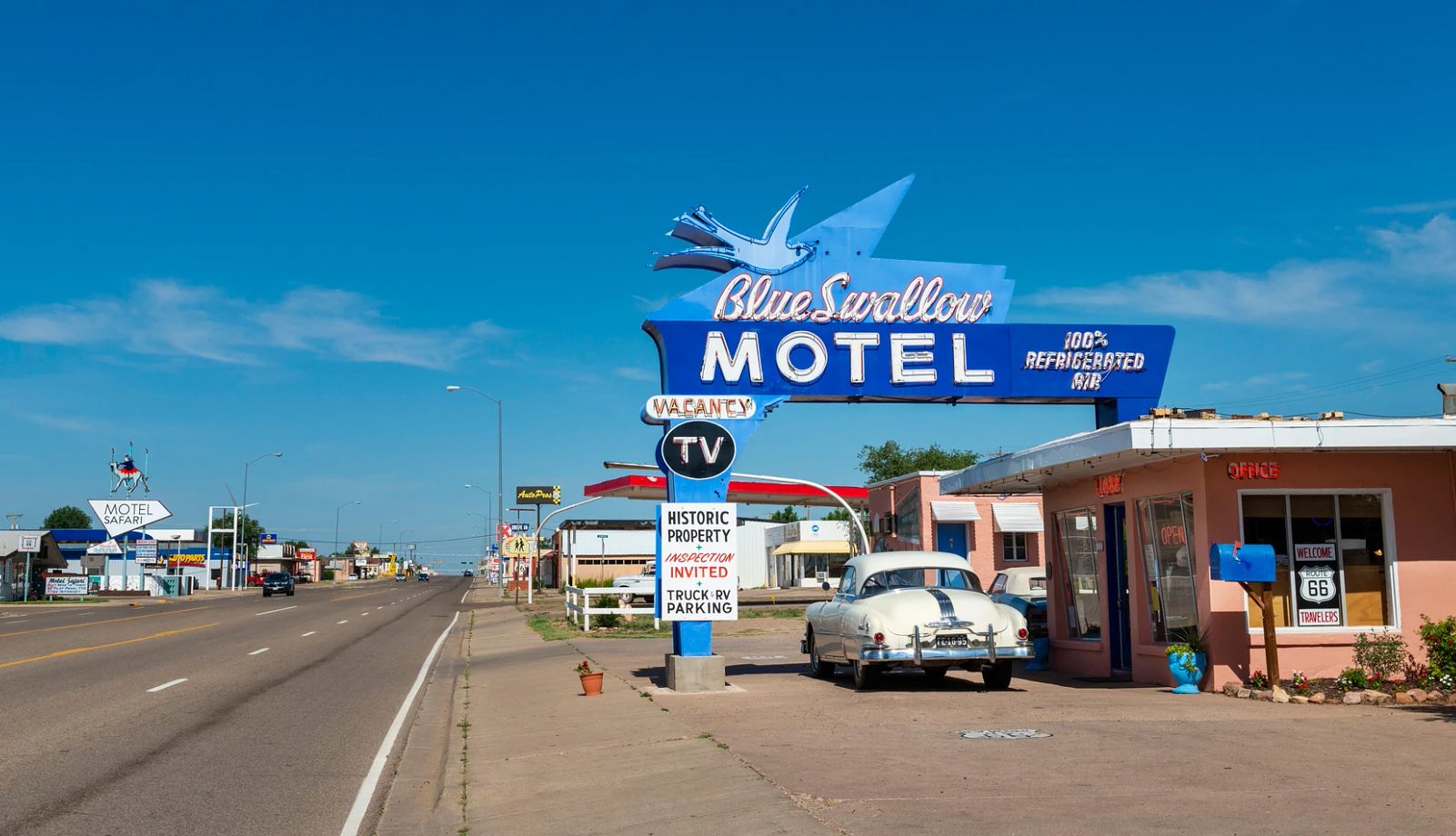
Begin your journey in Page, 273 miles north of Phoenix on the Arizona-Utah border. If you drove through this area in the early 1950s, you’d see nothing but a vast, open stretch of high desert. The town sprung up in the late 1950s as a housing camp for the construction of the Glen Canyon Dam, which created Lake Powell. Today it bustles with road trippers en route to the Grand Canyon, anglers and boaters who ply the waters of the lake and outdoor explorers looking to visit slot canyons and other surrounding sights.
Start your day with a huge helping of eggs and corned beef hash at the diner-style Ranch House Grille, where the chatty owners dish out tips on where the fish are biting and the best gas prices in town. The sandwiches are as hearty as the breakfasts, so order a turkey club or BLT to-go for a picnic lunch later.
Today’s journey will largely follow the path of the Colorado River (starting from the Glen Canyon Dam), where it departs Lake Powell about 3 miles from downtown Page. You’ll explore Marble Canyon, including the 60-mile stretch of the river from Lees Ferry where rafters launch trips into the Grand Canyon, to the confluence with the Little Colorado River, the Grand Canyon’s designated boundary. Named for its striped and water-polished cliffs, Marble Canyon was designated a national monument in 1969 before being subsumed into Grand Canyon National Park in 1975.
Before leaving Page, drive across the Glen Canyon Dam Bridge to the Carl Hayden Visitor Center, which juts out from the cliff 110 feet above the dam, for an enlightening relief map of Lake Powell and the Glen Canyon National Recreation Area and interpretive exhibits on area geology and history.
About 2 miles south of the dam on U.S. 89, stop at the Glen Canyon Dam Overlook, a little-known point with better views of the dam than you just saw from the bridge. Even if you can’t descend the 940-foot-long path to the overlook, you will see well from the trailhead.
Four miles up on U.S. 89, you’ll reach Horseshoe Bend, the 270-degree curve of the Colorado River so familiar from screen savers and Instagram photos. A wide, wheelchair-accessible path (1½ miles round trip) leads to a viewing platform where you can gaze down on the deep-teal water swirling against tangerine-colored rock.
It’s about 21 miles to Bitter Springs and the turnoff to U.S. 89A, the start of the Fredonia-Vermilion Cliffs Scenic Road, then a little more than 14 miles to the Navajo Bridge. This stretch crosses the Navajo Nation, and you’ll probably want to stop at one of the pullout viewpoints to get your first glimpse of the crimson cliffs and shop at the booths run by Navajo families.


