Solutions for Rural and Local Roads
These placemaking "photovisions" show how "country roads" can be pedestrian-friendly, distinctive and safe for all users
Editor's Note: The Walkable and Livable Communities Institute, AARP Livable Communities' partner in creating The Imagining Livability Design Collection, has closed shop. However, the 40-page publication the nonprofit helped develop in 2015 remains a valuable resource for communities and local leaders.
The transformations presented here show real locations as they appeared during visits by AARP and WALC between 2010 and 2015. WALC helped each community develop a vision for the future, and it created photovisions to reflect those changes and how each place could be made better.
1. Getting People Across a Bridge
UNDERHILL FLATS, VERMONT
The bridge (seen below) leads to a village in northern Vermont that serves as a regional center of culture, commerce and community. The village is taking steps to become an attractive, vibrant area that encourages active transportation, increases economic development and enhances health, well-being and overall quality of life. However, although more than 15,000 commuters from the surrounding area pass through the village on this route, there is little to signal to the drivers that they’re arriving at and passing through a place where they should slow down and even visit for a while.
Present Location

Photo by the WALC Institute
The Challenges
- Due to high traffic volumes and fast vehicle speeds, the route is not a desirable place to walk.
- Drivers coming into the town are not slowing for pedestrians.
- At the bridge location, people using any form of transportation other than a motorized vehicle are left completely unsupported.
The Potential Location

Photovision by the WALC Institute and TDC Design Studio
The Possibilities
- The existing bridge becomes a gateway and an entry cue that motorists should be slowing down prior to entering a pedestrian-friendly village.
- People walking or biking have a protected space in which to cross the bridge.
- The gateway structure, landscaping, signage and lighting embrace the heritage of Vermont.
- Vehicle lanes are narrower, which helps to calm traffic and enable the leftover space to be used as a protected path.
2. Honoring the Past, Placemaking for the Future
CLARKSDALE, MISSISSIPPI
This neighborhood district in Clarksdale — the "Birthplace of the Blues"— is no longer the walkable, vibrant community hub it once was. Until recent decades, residents had everything they needed within walking distance, including a post office, a doctor’s office, a grocery store and the Myrtle Hall School. Now, the school building stands empty. The northern boundary of the neighborhood is a major state highway accented by strip malls. There's very little support for people walking or bicycling, and an "adult motel in the neighborhood conflicts with the community’s values. But residents are ready to restore the area into a place that reflects the community’s pride.
Present Location

Photo by the WALC Institute
The Challenges
- Through a combination of inappropriate land uses, numerous vacant buildings, an absence of lighting and a lack of infrastructure for people walking, bicycling or enjoying the park, there are no "eyes on the street" to enhance livability and security.
- The area isn’t accessible for people with disabilities.
- The roads and intersections are overly wide, which encourages speeding and makes crossing difficult for pedestrians.
The Potential Location

Photovision by the WALC Institute and TDC Design Studio
The Possibilities
- Sidewalks, curb extensions, crosswalks and street parking make the corridor more walkable.
- Parking is convenient, helps calm traffic and supports retail success.
- Ramps comply with the Americans with Disabilities Act.
- The park becomes a place people want to visit, with a water feature, seating, a playground and other spaces for enlivening the area.
- A market offers outdoor seating, which entices people to linger a bit.
- Narrowing the roadway reduces vehicle speeds and crossing distances, making the location more appropriate for the neighborhood, better for businesses and more comfortable for pedestrians and bicyclists.
3. A Better Intersection for Beachgoers
KAILUA, HAWAII
The main thoroughfare of this scenic Hawaiian town leads to a grocery store and the famous soft sands of Kailua Beach Park. In some places along the street, trees, mid-block crossings and new buildings have created a place that encourages walking. Along certain sections people are seen on foot (often barefoot) shopping, eating and using transit or the state’s first bike-sharing program. However, at this triangle intersection — which provides access to the market and the beach — crossing on foot or bicycle is difficult. Also, vehicle traffic sometimes backs up for more than a mile.
Present Location

Photo by the WALC Institute
The Challenges
- The intersection is complex, with a high volume of cars turning left and people on foot or bicycle trying to cross the street to get to the market and the beach.
- A foot-worn path shows that improved support for all modes of transportation is needed.
- People renting kayaks cross mid-block instead of at the intersection because the intersection is too daunting. (However, since there isn't a clear mid-block crossing, the street is confusing to both pedestrians and drivers.)
The Potential Location

Photovision by the WALC Institute and TDC Design Studio
The Possibilities
- A modern roundabout slows vehicles to a safer speed while still moving traffic efficiently.
- Since such a roundabout also simplifies the intersection, it eliminates the conflicts created by left turns and makes crossing easier for people who are walking, bicycling or pulling a kayak.
4. Traffic Calming a Mixed-Use Street
BURLINGTON, VERMONT
This South End neighborhood is a key connector between residences and the downtown area of Burlington. There is a lot of traffic, and congestion has become a problem. This street, in particular, is a truck route, although the possibility of moving trucks to an alternate route is being discussed.
Present Location

Photo by the WALC Institute
The Challenges
- The four-way-stop intersection creates congestion during rush hour and is prone to collisions, including high-speed crashes due to driver error.
- The constant starting and stopping of cars and trucks wastes fuel and is noisy for nearby residents.
The Potential Location

Photovision by the WALC Institute and TDC Design Studio
The Possibilities
- A domed "mini roundabout" reduces collisions, congestion, pollution and noise while also helping to beautify the neighborhood. The intersection is still traversable by even the largest trucks, since the low-profile dome functions as a "truck apron," enabling turning movements over it.
- Due to a limited right-of-way, there isn't room enough for both a bike lane and parking on both sides of the street, even with narrower 10-foot travel lanes. Therefore, street parking is placed on the downhill side, and a bike lane is added on the uphill side.
- Cyclists "take the lane" while traveling downhill.
- Sharrow markings in the downhill lane let everyone know that bicyclists are allowed in the lane.

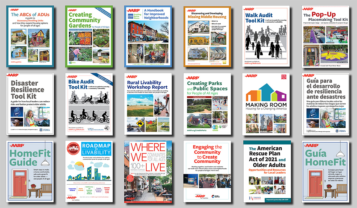
Download the collection or select from the 11 individual fact sheets.
Our Other "Don't Miss" Resources Include
- AARP Livability Fact Sheet Series (pictured)
- AARP Livable Communities Slideshows
- AARP Livable Communities Interviews
- AARP Livable Communities How To's
- AARP HomeFit Guide
- AARP Network of Age-Friendly Communities
- AARP Livable Communities A-Z Archives
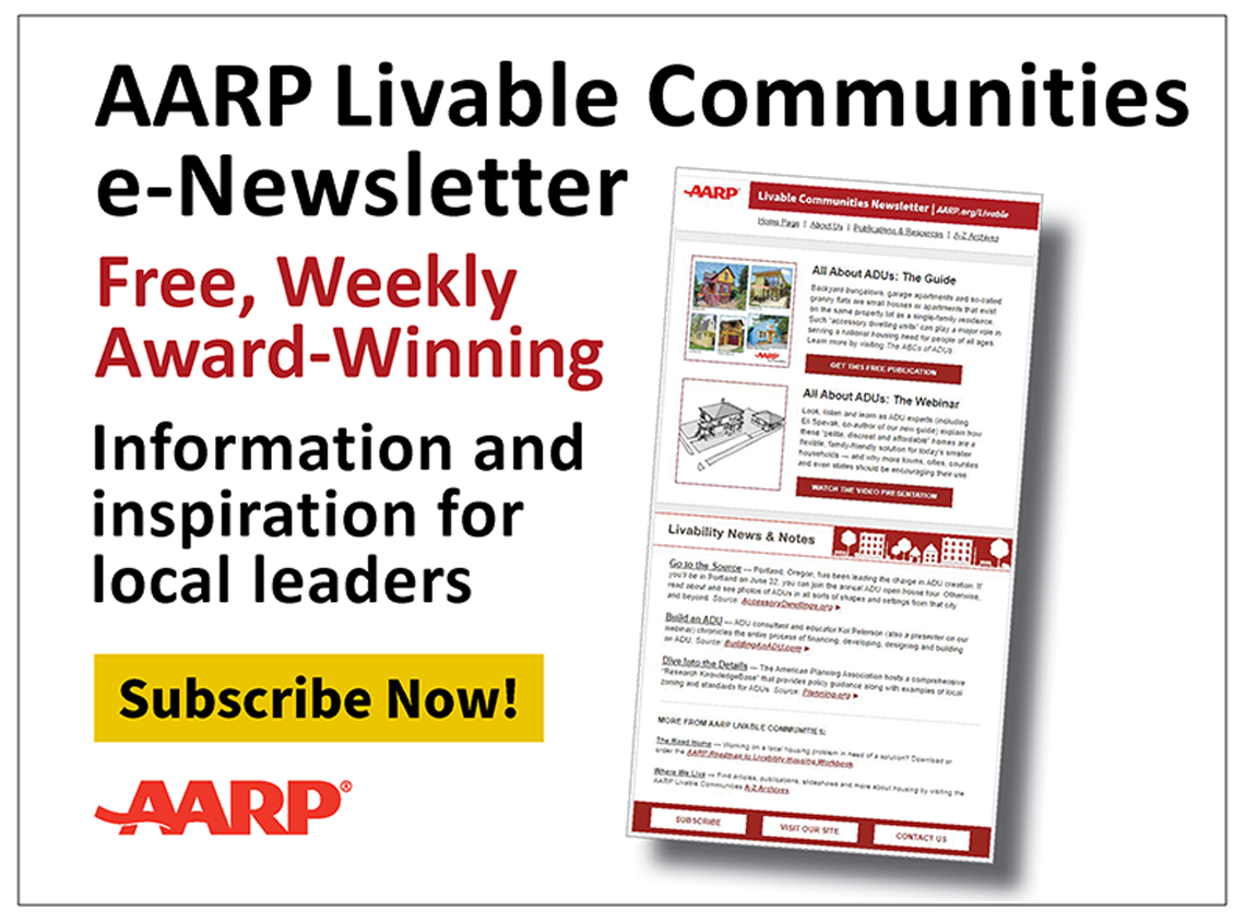
Stay Informed: Subscribe to the free, AARP Livable Communities Monthly e-Newsletter!
Featured Video
Learn how to check the "livability score" of any address in the U.S.
Stay Informed — For Free!
The weekly, award-winning AARP Livable Communities e-Newsletter provides local leaders with information and inspiration for making their town, city or neighborhood more livable for older adults and people of all ages. Subscribe today!
AARP.org/Livable
Enter a topic, name, place, etc.
See past issues: Visit our newsletter archive »
Our Free Publications!
See the complete list at AARP.org/LivableLibrary